La Balme-les-Grottes on the relief France map in Lambert 93 coordinates
|
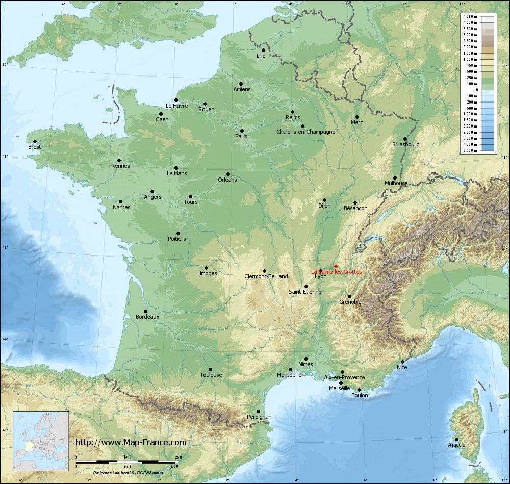
See the map of La Balme-les-Grottes in full screen (1000 x 949)
|
At left, here is the location of La Balme-les-Grottes on the relief France map in Lambert 93 coordinates.
Here are the altitudes of La Balme-les-Grottes :
- Town hall altitude of La Balme-les-Grottes is 216 meters
- Minimum altitude of La Balme-les-Grottes is 192 meters
- Maximum altitude of La Balme-les-Grottes is 383 meters
- Medium altitude of La Balme-les-Grottes is 288 meters
Here are the altitudes of Grenoble, prefecture of Isère department:
- Town hall altitude of Grenoble is 212 meters
- Minimum altitude of Grenoble is 204 meters
- Maximum altitude of Grenoble is 600 meters
- Medium altitude of Grenoble is 402 meters
Here are the altitudes of the french biggest cities:
Paris : 33 meters
Marseille : 20 meters
Lyon : 237 meters
Toulouse : 146 meters
Nice : 10 meters
Nantes : 20 meters
Strasbourg : 144 meters
Montpellier : 35 meters
Bordeaux : 16 meters
Lille : 20 meters
Rennes : 35 meters
Reims : 83 meters
Click here for the terrain map of La Balme-les-Grottes in full screen:
Relief map of La Balme-les-Grottes
|
This relief map of La Balme-les-Grottes is reusable and modifiable by making a link to this page of the Map-France.com website or by using the given code :
|
Terrain base map of La Balme-les-Grottes
|

See the terrain base map of La Balme-les-Grottes in full screen (1000 x 949)
|
Small relief base map of La Balme-les-Grottes

|
This base map of La Balme-les-Grottes is reusable and modifiable by making a link to this page of the Map-France.com website or by using the given code :
|
Map of La Balme-les-Grottes with regions and prefectures
|
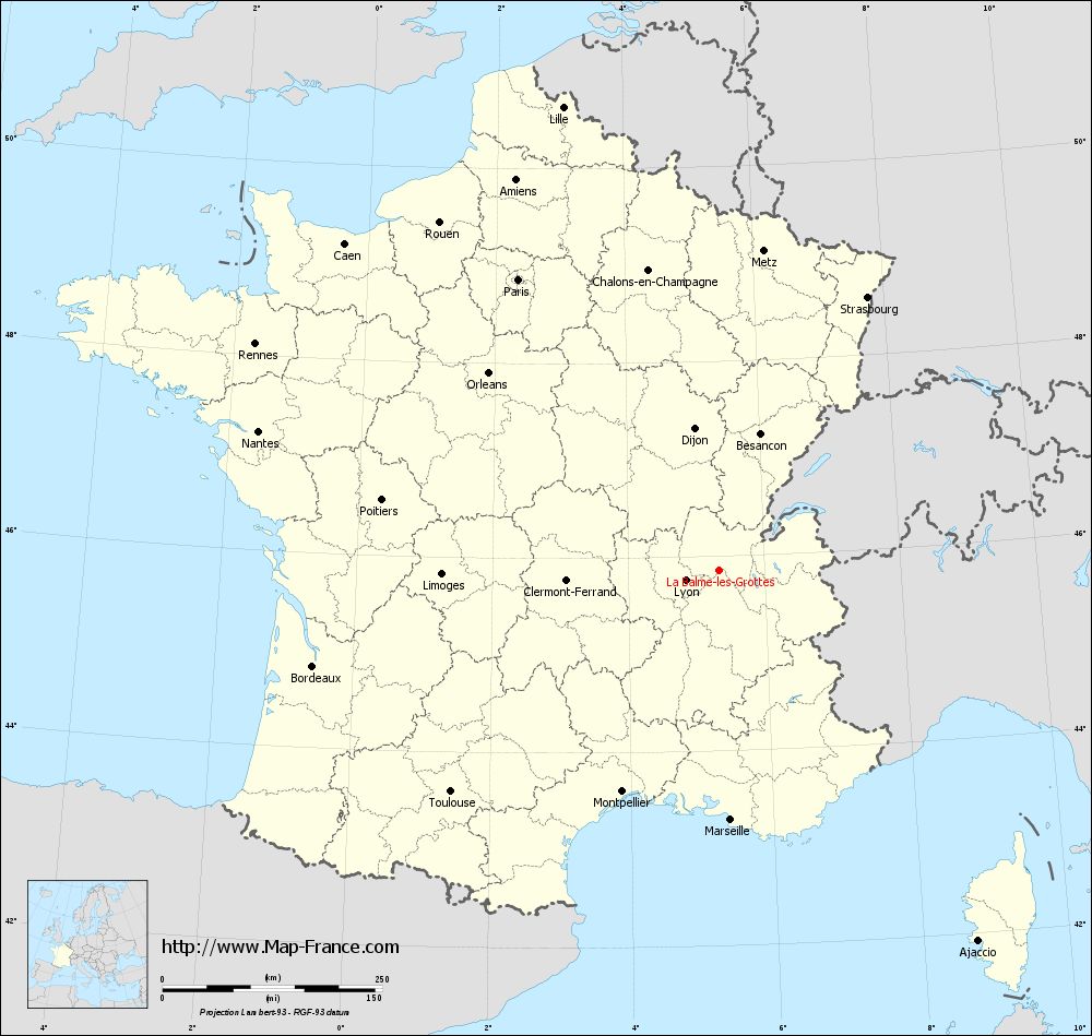
View the map of La Balme-les-Grottes in full screen (1000 x 949)
|
You will find the location of La Balme-les-Grottes on the map of France of regions in Lambert 93 coordinates. The town of La Balme-les-Grottes is located in the department of Isère of the french region Rhône-Alpes.
Geographical sexagesimal coordinates / GPS (WGS84):
Latitude: 45° 51' 09'' North
Longitude: 05° 20' 12'' East
Geographical decimal coordinates :
Latitude: 45.853 degrees (45.853° North)
Longitude: 5.336 degrees (5.336° East)
Lambert 93 coordinates :
X: 8 813 hectometers
Y: 65 308 hectometers
Lambert 2 coordinates :
X: 8 330 hectometers
Y: 20 991 hectometers
Below, the geographical coordinates of Grenoble, prefecture of the Isère department:
Geographical sexagesimal coordinates / GPS (WGS84):
Latitude: 45° 11' 13'' North
Longitude: 05° 43' 35'' East
Geographical decimal coordinates :
Latitude: 45.185 degrees (45.185° North)
Longitude: 5.723 degrees (5.723° East)
Lambert 93 coordinates :
X: 9 141 hectometers
Y: 64 579 hectometers
Lambert 2 coordinates :
X: 8 664 hectometers
Y: 20 264 hectometers
|
This map of La Balme-les-Grottes is reusable and modifiable by making a link to this page of the Map-France.com website or by using the given code :
|
Map of La Balme-les-Grottes with departments and prefectures
|
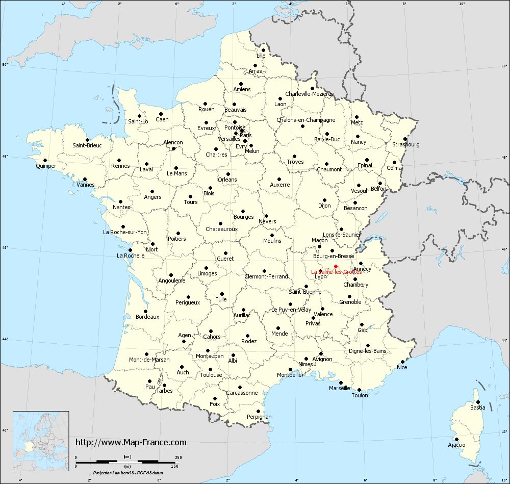
Voir la carte of La Balme-les-Grottes en grand format (1000 x 949)
|
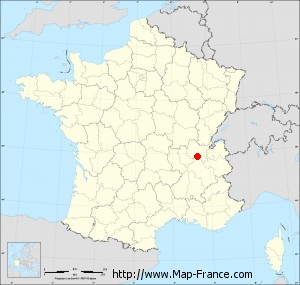
Here is the localization of La Balme-les-Grottes on the France map of departments in Lambert 93 coordinates. The city of La Balme-les-Grottes is shown on the map by a red point.
The town of La Balme-les-Grottes is located in the department of Isère of the french region Rhône-Alpes.
The latitude of La Balme-les-Grottes is 45.853 degrees North.
The longitude of La Balme-les-Grottes is 5.336 degrees East.
Here the distance between La Balme-les-Grottes and the biggest cities of France:
Distances are calculated as the crow flies (orthodromic distance)
Distance between La Balme-les-Grottes and Paris : 402.87 kilometers
Distance between La Balme-les-Grottes and Marseille : 283.95 kilometers
Distance between La Balme-les-Grottes and Lyon : 40.19 kilometers
Distance between La Balme-les-Grottes and Toulouse : 395.84 kilometers
Distance between La Balme-les-Grottes and Nice : 282.74 kilometers
Distance between La Balme-les-Grottes and Nantes : 547.86 kilometers
Distance between La Balme-les-Grottes and Strasbourg : 354.15 kilometers
Distance between La Balme-les-Grottes and Montpellier : 274.72 kilometers
Distance between La Balme-les-Grottes and Bordeaux : 474.91 kilometers
Distance between La Balme-les-Grottes and Lille : 556.93 kilometers
Distance between La Balme-les-Grottes and Rennes : 587.64 kilometers
Distance between La Balme-les-Grottes and Reims : 390.78 kilometers
Clic here to see the map of La Balme-les-Grottes in full screen:
La Balme-les-Grottes on the map of french departments
|
This administrative map of La Balme-les-Grottes is reusable and modifiable by making a link to this page of the Map-France.com website or by using the given code :
|
Administrative base maps of La Balme-les-Grottes
|

See the administrative base map of La Balme-les-Grottes in full screen (1000 x 949)
|
Small administrative base map of La Balme-les-Grottes
|
This base map administrative of La Balme-les-Grottes is reusable and modifiable by making a link to this page of the Map-France.com website or by using the given code :
|
 French Version : http://www.cartesfrance.fr